Fish farming data provider maps out a better future for eelgrass beds
Umitron applies satellite sensing technology and AI expertise for fully remote mapping
Technology used to help fish farmers predict harmful algal blooms is being used to maintain ocean health by mapping environmentally important eelgrass beds in Japan. This, in turn, can help fish farmers interested in producing seaweed for integrated multitrophic aquaculture projects, and provide some information about where best to site new farms.
Singapore and Japan-based deep tech company Umitron, which has developed the PULSE platform that enables fish farmers can access to track environmental changes and monitor trends, used a fully remote method of artificial intelligence (AI) and satellite remote sensing technology to map the eelgrass beds in Miura Peninsula.
Eelgrass beds, usually found in shallow coastal areas and estuaries, form the basis of a highly productive marine food web, playing a crucial role in the marine ecosystem and providing various benefits to aquatic and human life.
The beds support a high diversity of marine life and serve as nurseries, offering shelter and food to juvenile fish and other invertebrates. Their roots and rhizomes stabilise and trap sediment, reducing the impact of wave energy and resulting erosion and helping to maintain water clarity. Their ability to photosynthesise also produces oxygen and stores greenhouse gases like carbon dioxide, allowing them to act as carbon sinks.
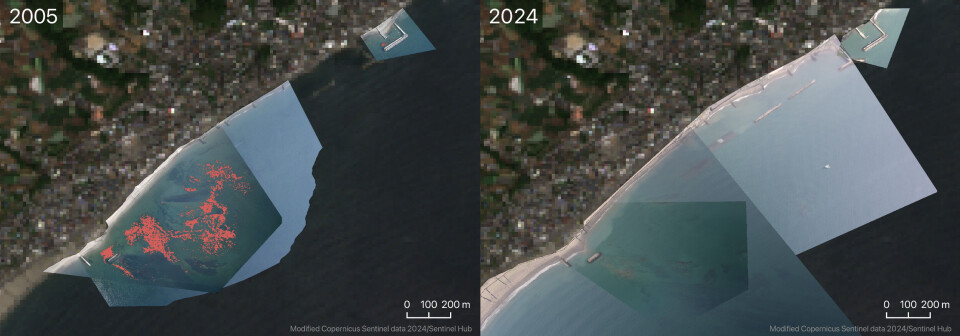
Unfortunately, these vital habitats are fast declining due to climate change and human activities such as urban development and pollution, and there is an increasing urgency to better understand and conserve these areas.
Umitron said its mission to use its technical expertise to benefit aquaculture and to conserve and restore marine ecosystems meant that embarking on the collaborative project was a natural step forward.
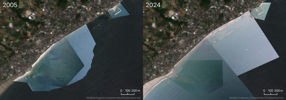
Utilising aerial photographs from 2005 and 2024 provided by Takashi Kimura, director of the Association for Shore Creation, and Nippon Television (NTV), Umitron employed advanced AI image analysis technology to detect and map eelgrass beds with high precision. This method allowed for a rapid and accurate assessment of the current state of these critical habitats.
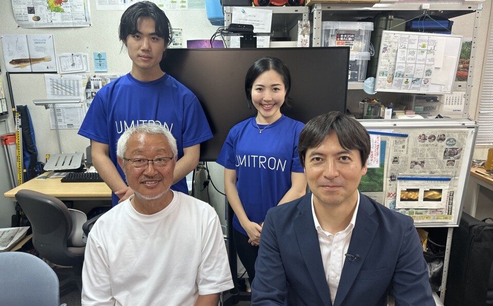
The maps generated by Umitron were unveiled on NTV’s show The News Programme, “Bankisha!”, last Sunday.
The first step
Presenter Taichi Masu, from Doshisha University, said: “Accurately understanding the current state is the first step in protecting eelgrass beds. The analysis results by Umitron reminded me that the ocean, which is difficult to reach by human hands and eyes, demonstrates the potential of leveraging the latest science and technology, including AI and satellite data, to safeguard our oceans.”
Umitron’s business operations and communications manager Joyce Leo told Fish Farming Expert that the technology used to map the eelgrass meadows was an expansion of the PULSE platform that uses a combination of IoT (Internet of Things), satellite remote sensing and AI.
Commercial uses
“We’re taking the extrapolated and interpolated data from PULSE and combining it with our AI algorithms and remote sensing capabilities to create these potential maps,” Leo explained.
Leo said the company had received requests from fish farmers interested in producing seaweed and is looking to see if it can quantify the growth of what’s currently available or explore ideal surrounding regions for planting.
“We’ve also done a similar spatial planning exercise for yellowtail (Seriola), using specific environmental parameters and thresholds to do a first-stage identification of ideal sites to set up a new yellowtail farm,” she added.

