Irish aquaculture sites ditch the old buoys network
Ireland has launched a new standard operating procedure to reduce the number of navigation markers around aquaculture sites.
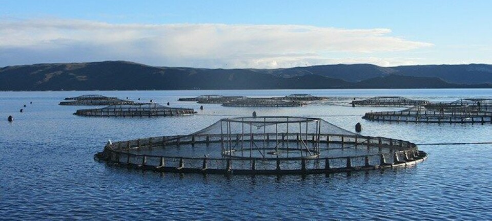
In one harbour it has reduced the number of markers from a proposed 160 poles to just 10 poles and 11 small buoys.
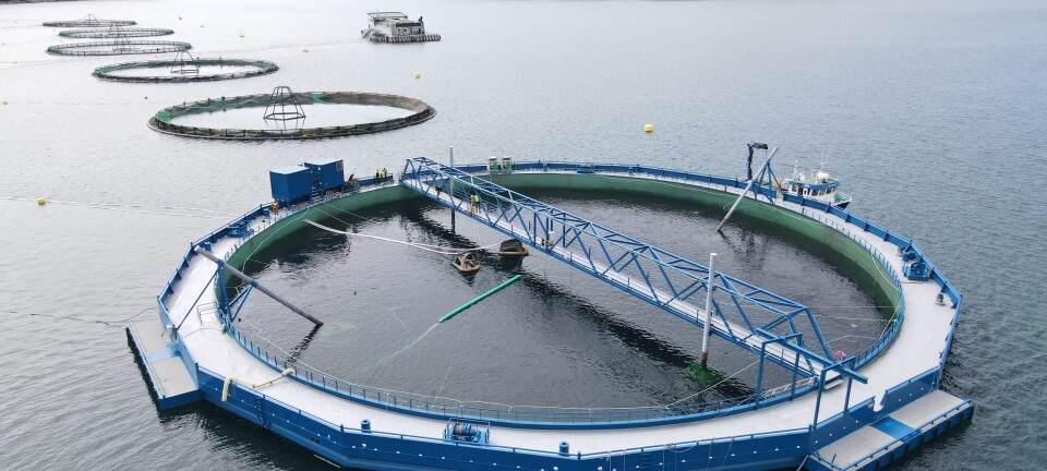
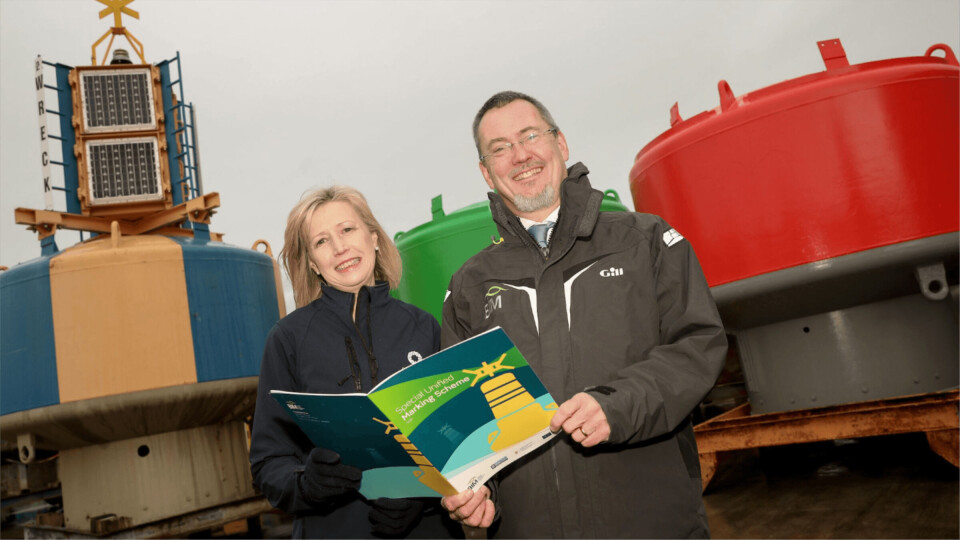
The country’s seafood development agency, Bord Iascaigh Mara (BIM) and the Commissioner of Irish Lights (CIL) have been working with fish and shellfish farmers around the coast to install simplified navigation marking systems that provide an effective visual guide for anyone navigating a bay or harbour.
Boundary marks
The Special Unified Marking Schemes (SUMS) simplifies marking by getting all aquaculture producers in an area to incorporate their sites boundary marks into one marking scheme.
Previously each farm in a bay or harbour had its own marks indicating the boundaries of the site, often resulting in a large amount of markings and making navigation more difficult.
Unifying the sites under one scheme both improves navigation of the harbour and provides efficiencies for fish farmers.
Safety first
Speaking at the launch of the new operating procedure, BIM chief executive Jim O’Toole said SUMS highlighted the commitment of fish farmers to work in harmony with the local environment and other marine users and put safety at the centre of what they do.
CIL chief executive Yvonne Shields O’Connor said: “The launch of the Special Unified Marking Scheme with BIM marks a positive step change in delivering improved navigation and safety in areas of aquaculture activity.”


